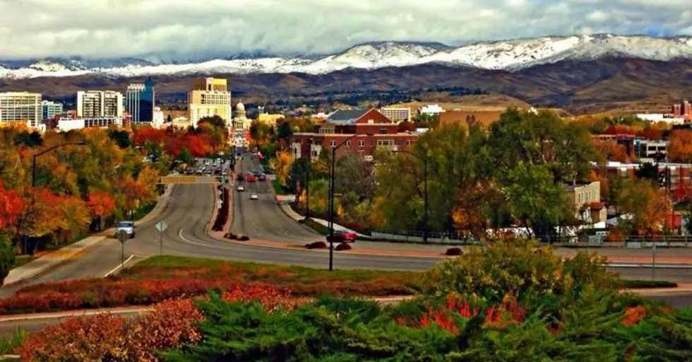
Goodbye Summer: Snow Expected in Idaho
The last remnants of snow melted from Idaho's higher peaks last month during our heat wave, but it didn't last for long! Snow is already returning this week. Better get those wind breakers ready and start ordering those Pumpkin Spice Lattes!
The flakes could start flying as early as Thursday evening late in the Northern Rockies with Montana and Wyoming scoring the bulk of the snowfall, but Idaho isn’t going to be left out. Yes, in case you haven't checked your calendar, it is still officially summer.
The Forecast calls for rain showers before midnight Thursday and then about a 50% chance of snow showers early Friday morning in the mountain areas around Borah Peak. Snow showers are also being forecast for Friday night and Saturday too.
According to The Weather Channel, Boise typically receives first snow November 19th, with the earliest snow on record happening on October 10th, 2008. Depending on how crazy our weather was this past winter, and what we have in store this winter, it will be interesting to see if we gain the new earliest snowfall date this year!
More From Mix 106


![This Week Marks the 42nd Anniversary of Idaho’s Largest Natural Disaster [Video]](http://townsquare.media/site/659/files/2017/05/hqdefault25-e1496257340613.jpg?w=980&q=75)


![Boise’s Best Bloody Mary Breakfast: My Final Stop is Bacon [Photos]](http://townsquare.media/site/659/files/2018/03/1-a-a-Bacon7-e1522262410214.jpg?w=980&q=75)

