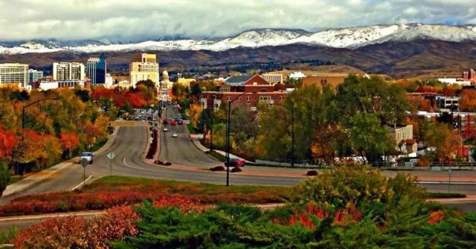
Boise River Video Tour: What 9500cfs Water Flow Looks and Sounds Like
Boise River flow hit the 2nd highest level in history last week since the construction of Lucky Peak dam at 9500cfs. Wondering what the river and flooded areas look like...here are numerous videos to show you just how powerful and in come cases scary the situation along the Boise river is.
I told you last week about the Bureau of Reclamation increasing flows in the Boise River
The Bureau of Reclamation and the U.S. Army Corps of Engineers
did increased flows from Lucky Peak Dam last Monday and Tuesday (May 15 and 16).
Flows through the city of Boise increased to approximately 9,500 cfs, which is 2500cfs above flood stage and only 500cfs below the all-time record setting high of 10,000cfs.
According to the Bureau of Reclamation, flooding will continue to occur in at Eagle Island in Eagle, Garden City, Star, and Caldwell. Water will continue to cover portions of Warm Springs Golf Course and Municipal Park in east Boise. The water may affect some residential property near the river but should stay below the level of most residential structures.
Residents of flood-prone areas in and near Ada County are asked to keep informed of changing river, stream, and weather conditions on the National Weather Service website at http://www.wrh.noaa.gov/boi/.
The site offers flow data, weather forecasts, and flood alerts. Follow flood-response instructions issued by your local emergency management agency http://www.adacounty.id.gov/flood, and Mix 106 and mix106radio.com to keep updated on possible problems with flooding.
Ada County residents can also sign up for CodeRED emergency alerts at https://public.coderedweb.com/cne/en-US/BF01DC4DD213, or download the CodeRED mobile app from your mobile device’s app store.
Two of the Boise River reservoirs are already around 97 percent of capacity with Lucky Peak at around 68 percent capacity with millions more acre feet of water still in the mountains in the form of snow. For real-time Boise River flows at Reclamation facilities in the Pacific Northwest Region, visit http://www.usbr.gov/pn/hydromet/rtindex/boise.html.
Interested in seeing the high flows surrounding us but don't want to risk going into some of those areas....that's what we are here for, so you can see pictures and videos, including videos taken high up from drones....check out all the video's below:
This Video shows the raw power of what 9500cfs looks and sounds like up close
Here's a drone video showing some of the flooded areas here in the Treasure Valley
More From Mix 106


![This Week Marks the 42nd Anniversary of Idaho’s Largest Natural Disaster [Video]](http://townsquare.media/site/659/files/2017/05/hqdefault25-e1496257340613.jpg?w=980&q=75)

![Boise’s Best Bloody Mary Breakfast: My Final Stop is Bacon [Photos]](http://townsquare.media/site/659/files/2018/03/1-a-a-Bacon7-e1522262410214.jpg?w=980&q=75)
