Update: Increased Boise River Flows Already Causing Flooding
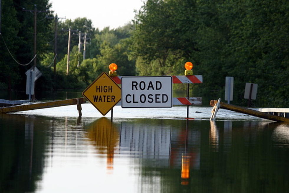
The Army Corp of Engineers have begun releasing more water from Lucky Peak due to early snow melt and it's already causing flooding around the Greenbelt and that's just the beginning
The Bureau of Reclamation and the U.S. Army Corps of Engineers began increasing flows from Lucky Peak Dam on Wednesday (2/22) due to above-normal winter precipitation in the Boise River drainage.
Flows through the City of Boise will increased from around 3,750 cubic-feet-per-second to approximately 4,750 cfs.
Additional increases will continue on into the weekend resulting in a flow of about 6,000 cfs on by this weekend. These releases will help reduce the risk of flooding later in the spring, which can occur with rapidly melting snow and seasonal precipitation.
More flow increases are possible in the coming weeks, depending on weather conditions.
The public should be aware of the danger associated with these increased flows. The water is deep, cold, and fast, so extreme caution should be used near the river banks, and where lowland flooding can occur.
According to the Boise Parks and Rec department, the following areas are places to be aware of for possible flooding:
- Between mile marker 2.6 SE and 3.7 SE near the Cottonwood Apartments to the powerline corridor along Parkcenter Boulevard – Pedestrian only Bethine Church River Trail
- Between mile marker .08 SE and 1.4 SE at Logger Creek located under the Parkcenter Bridge
- The Main Street tunnel near Esther Simplot Park
Boise Parks and Recreation is closely monitoring the situation. Greenbelt users are asked to use caution and be prepared for the possibility of periodic closures.
Staff will begin posting signs to warn pedestrians and cyclists about hazardous conditions on affected pathways.
In case you're curious if 6000cfs will cause the Boise river to flood, according to the City Works department, the Boise River won't hit flood stage till the river flow hits about 7000 cfs...so we are still a little ways away from having to deal with flooding in the Boise area, bet we are already starting to see parts of the Greenbelt closed because water has breached the banks in some places....so for the short foreseeable future, if you like to run, walk or play along the Greenbelt....you might want to find a new place for a while, because river flow will be quite high for the rest of winter and spring.
For real-time Boise River flows at Reclamation facilities in the Pacific Northwest Region visit: http://www.usbr.gov/pn/hydromet/rtindex/boise.html.
More From Mix 106


![This Week Marks the 42nd Anniversary of Idaho’s Largest Natural Disaster [Video]](http://townsquare.media/site/659/files/2017/05/hqdefault25-e1496257340613.jpg?w=980&q=75)


